New Jersey’s most recent Municipal Separate Storm Sewer System (MS4) permit requires all municipalities to develop a Watershed Improvement Plan. A Watershed Improvement Plan (WIP) is a plan that municipalities develop that will eventually result in improvements to water quality and reduce flooding. These plans are developed in three phases over the five-year period of this permit.
Phase 1 is the mapping and inventory phase. Over a three-year period, municipalities must map several aspects of their stormwater system and inventory its assets. Some of this mapping and inventory should be readily available to municipalities. Below is a list of items that will be mapped and inventoried during phase 1:
As mentioned above some of the information is readily available. For example, New Jersey Department of Environmental Protection’s Geoweb site has GIS layers showing the location and classification of waterways. NJDEP also has a GIS-based Integrated Water Quality Assessment Report to determine the locations of water quality impairments. NJDEP’s TMDL look up tool provides the areas associated with the TMDLs. The NJDEP is looking to make this tool even more helpful in the near future. There is also an Environmental Justice mapping tool from NJDEP that will assist in determining the location of overburdened communities.
Other aspects of the inventory report will take a bit more effort on the part of a municipality to develop. For example, the location of all BMPs includes not only publicly owned systems but privately owned ones as well. Municipalities may not have all of this information readily available. Adopting a permitting and inspection reporting program could help in capturing this information.
The second phase of the WIP is called the Watershed Assessment Report. In essence this phase is for the development of a plan to improve water quality. This plan must be developed by the end of Year 4 or Dec. 2026. The plan must identify projects or other actions that the municipality plans in the future that will improve water quality. The plan must also describe how it is implementing the reductions required by the relevant TMDL. Potential sources of funding must also be identified and a schedule for implementation developed. Lastly, the plan must be provided to the public for review and comment.
The last phase is the development of the final Watersheds Improvement Plan Report. By Dec. 2027 the finalized plan must be prepared and submitted to the NJDEP. The final plan must include:
The WIP in this permit is mostly a planning and inventory exercise. There is no requirements for municipalities to implement this plan during the term of this permit. It is expected that implementation will take years and will be addressed in future permits.
Now that the components of a WIP have been set out, the question is why WIPs are necessary.
The goal for the WIPs are improving water quality and reducing flooding. Are we required to improve water quality? The answer to that question is an emphatic yes. The 1972 Water Pollution Control Act or better known as the Clean Water act requires:
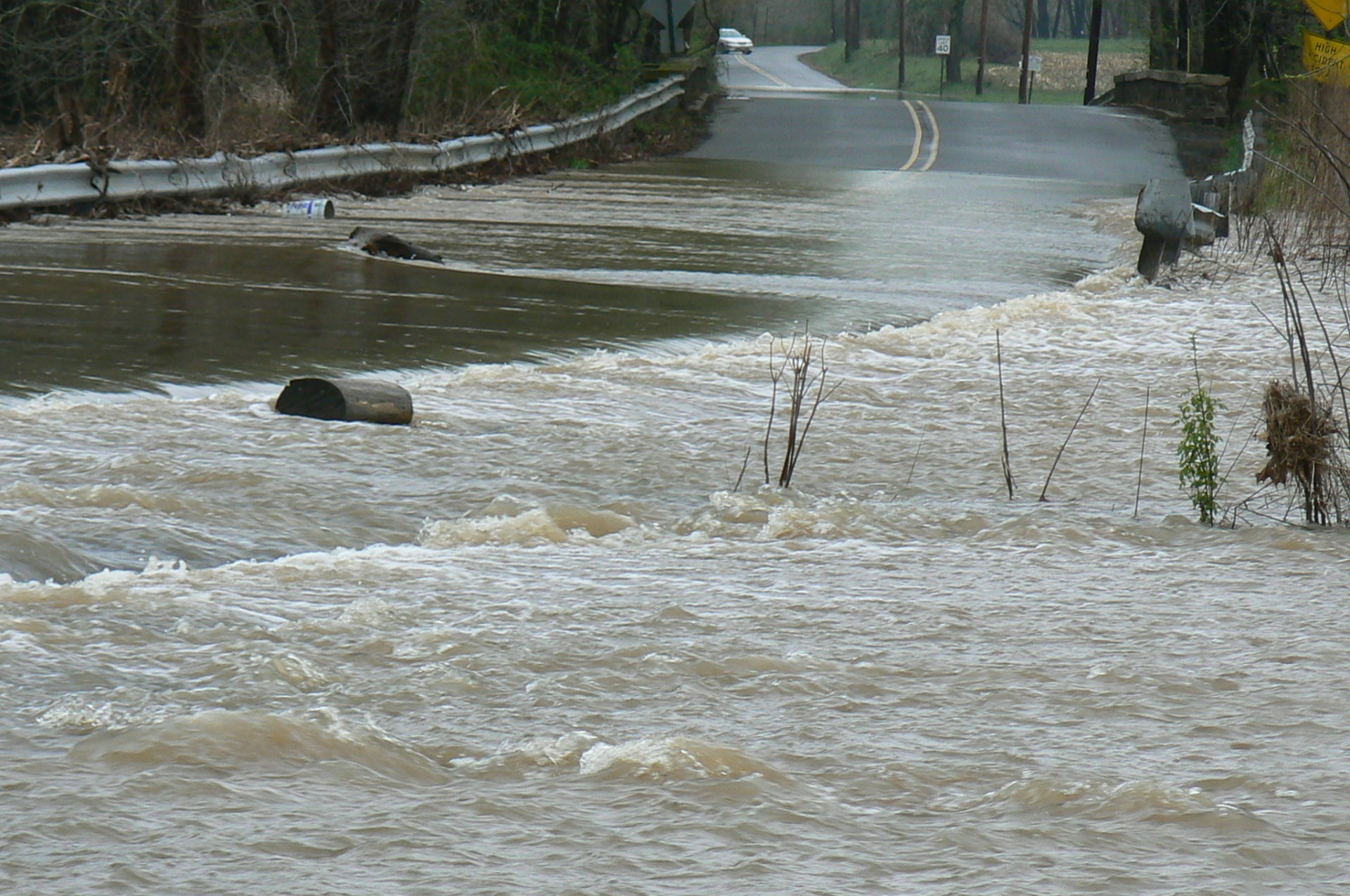
New Jersey’s Water Pollution Control Act has a very similar directive of restoring water quality at N.J.S.A. 58:10A-2. In order to implement these goals, NJ and the Federal government require that all pollution discharged from a point source receive a permit and control the discharge of the pollution. Stormwater runoff is a pollutant. It can pick up a multitude of chemicals and substances as it flows across land and into waterways. In many instances the temperature of the runoff is greater than the rain. Temperature can be a pollutant. Our municipal stormwater system collects this polluted runoff and discharges it from pipes or ditches to our waterways.

To regulate the discharge of pollutants, NJ issues New Jersey Pollution Discharge Elimination Permits (NJPDES). The MS4 permit is a NJPDES permit that authorizes towns to collect, treat and discharge stormwater, called the Municipal Separate Storm Sewer Permit (MS4). Under Federal law, the MS4 permittees, i.e. municipalities, must not only reduce the discharges of pollutants to the maximum extent practicable, but must also incorporate any approved Total Maximum Daily Loads. 40 C.F.R. 122.44(d)(1)(vii)(B) Additionally, the permittees must address any impaired waterways. 40 C.F.R. 122.4(d) Again, New Jersey’s regulations have very similar requirements. N.J.A.C. 7:14A-25.6(a) and N.J.A.C. 7:9B-1.5(a) & (d). These regulatory requirements are written into the MS4 permit.1 So, municipalities must be concerned and take steps to meet water quality standards.
The next question is: are NJ’s waters impaired and are there TMDLs? According to NJ’s Integrated Water Quality Assessment Report most of NJ’s waters are impaired. This means that these waters do not meet one or more of the designated uses. Below is a chart from the 2018/2022 Integrated Water Quality Assessment Report. This chart illustrates that most of NJ’s waters are impaired.
Further, many of our waters have had TMDLs developed. TMDLs set up a limit on how much of a pollutant can be discharged into water for it to meet standards. It then allocates that amount to the various sources and sets target reductions. Prior to the issuing of this current permit, municipalities were not required to implement the reductions set out in the TMDLs. The 2023 MS4 permit changes this by requiring a plan to implement the reductions.
The WIP plans are NJ’s method of addressing the requirement to reduce water pollution, improve water quality, and reduce flooding.
Site by Scout Digital